| < < Previous | Album Index | Next > > |
 |
||
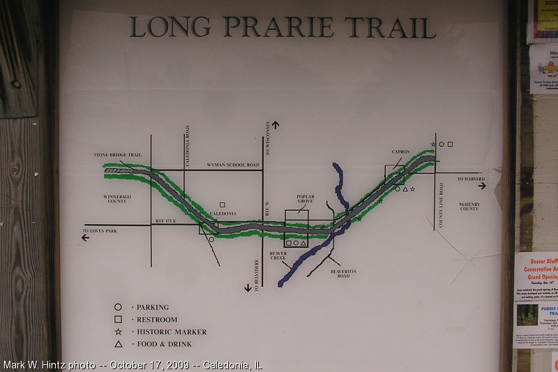
This misspelled, badly pixellated map stands along the trail head in Caledonia. (Wonder if I can help them out with a better one, hmmm...) This section of the trail is on a different original right-of-way than the rest of the trail, but the two were connected just southeast of Caledonia, with the remaining parts of both abandoned and partially built-over. Just northwest of here is a crossing of IL-173 that could really use a bridge. Mark W. Hintz photo, 10/17/09, Caledonia IL
http://www.fuzzyworld3.com/bicycling3/guide/bb1/lp2017.html ©11/03/2009 Mark W. Hintz